Drone Surveying in Tallahassee and Big Bend Counties
Drone-based site mapping for universities, roads, and stormwater upgrades in Tallahassee & Big Bend Counties
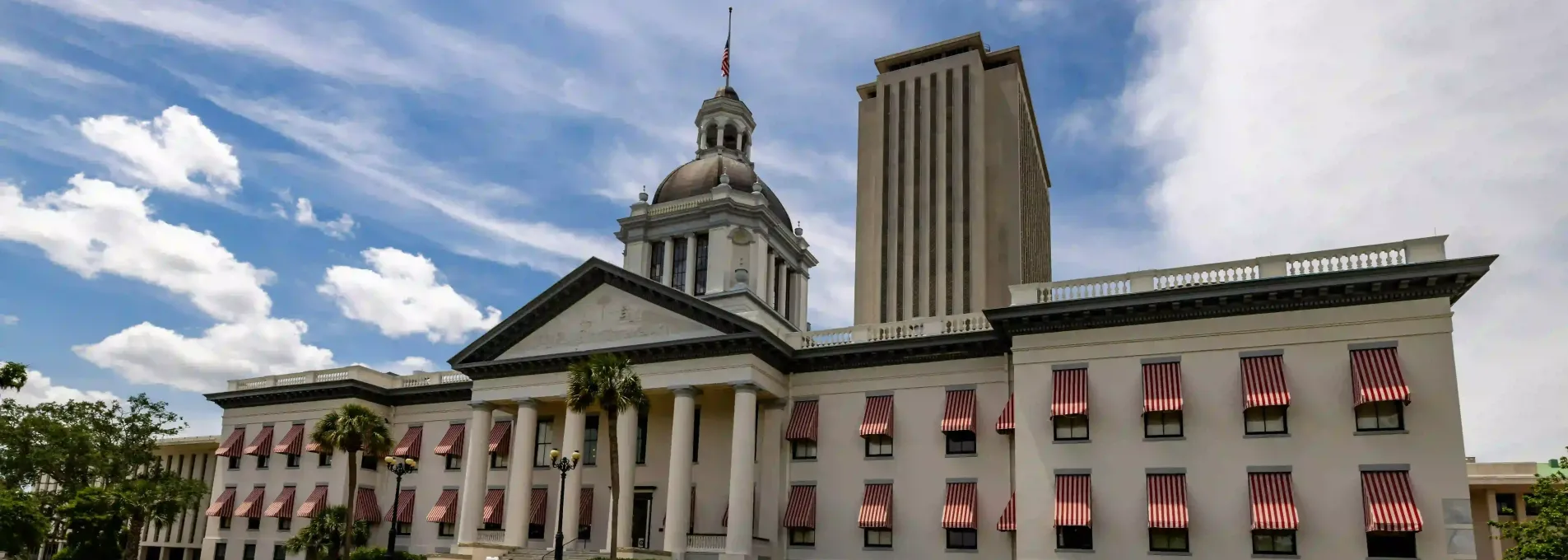
Surveying Florida's Capital Region with Confidence
From university expansions to stormwater upgrades, Tallahassee-area projects require accurate data to move forward. FAST delivers clean, ready-to-use drone maps throughout the Big Bend region.

Aerial Mapping for Florida's Capital Region
Acres mapped in the Big Bend zone.
Topographic accuracy validated in forested and urban mix.
Typical turnaround for university and infrastructure jobs.
Repeat client rate in Leon and Wakulla counties.

Topo Support for Drainage and Campus Retrofit Projects
In Tallahassee, civil teams face a mix of dense vegetation, slope, and public infrastructure. FAST helps manage retrofit, grading, and drainage projects with accurate aerial mapping and fast field deployment.

Who We Help in the Tallahassee Area
We partner with universities, engineering firms, and contractors across the Big Bend region to deliver high-quality drone mapping — fast.


Topo for Public Works in Florida's Capital Region
From state stormwater to campus retrofits, FAST supports high-quality drone mapping for permitting and progress tracking.
Tallahassee & Big Bend FAQs
Frequently asked questions about public works, campus upgrades, and site planning in and around the state capital.
Yes — we've supported stormwater, grading, and planning projects on both public and institutional sites.
We use drone configurations that perform well in mixed canopy and open ground zones.
We usually schedule within 1–2 days and complete within 2–3 days depending on weather.
Precision Mapping for the Capital Region
From campus expansions to stormwater projects, FAST helps agencies and contractors build smarter across the Tallahassee area.
We serve Leon, Wakulla, and surrounding counties
Based in Florida
All survey flights are Florida-local and FAA-certified.
Fast Turnarounds
We typically complete jobs within 2–3 business days.
Survey-Grade Accuracy
Suitable for permitting, layout, and volume with ≤3cm tolerance.