Drone Surveys for Growth and Golf Design in Sarasota–North Port
Accurate drone mapping & terrain survey data for real estate, infrastructure, and planned communities in Sarasota
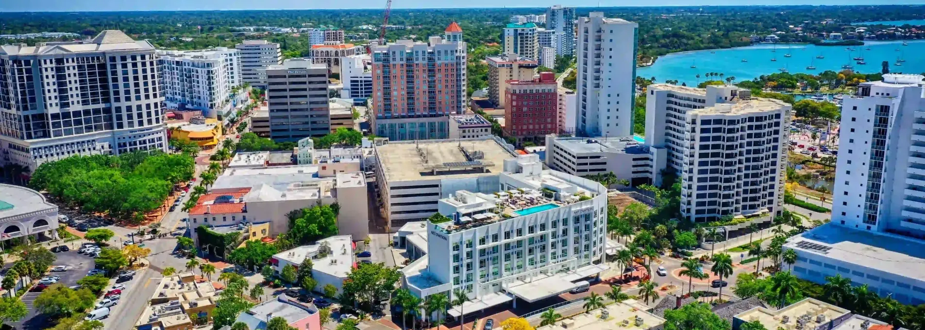
Mapping That Matches Sarasota's Growth
From golf communities to residential expansions in North Port, Sarasota-area projects benefit from aerial surveys that are accurate, affordable, and fast. FAST provides smart solutions for a region on the rise.

Supporting Sarasota's Coastal and Residential Growth
Acres surveyed across Sarasota and Manatee counties.
Standard planimetric tolerance across residential sites.
Clients requesting follow-up mapping packages.
Client review average for jobs in the Sarasota region.

Site Linework for a Golf Community in North Port
During planning for a new golf and residential community in North Port, developers needed fast linework and topo to finalize design permits. FAST completed the mapping with centimeter-level accuracy, allowing their civil team to move straight into drainage modeling. We regularly assist with golf and real estate layouts in Sarasota County.

Who We Help in Sarasota & North Port
From golf course planning to coastal infrastructure and high-end development, FAST helps project teams reduce delays and improve design confidence.


Linework & Topo for Golf and Coastal Design
From North Port developments to Sarasota golf courses, we provide design-ready mapping solutions to contractors and consultants.
Sarasota & North Port FAQs
Details for clients working in golf communities, new subdivisions, and coastal design zones throughout Sarasota County.
Yes — we regularly support golf course layouts, coastal development, and site planning across Sarasota County.
Most sites are completed within 2–3 days after scheduling, depending on conditions.
Yes — we follow FAA protocols for sites near Venice, North Port, or along the coastline.
Mapping That Fits Coastal and Community Projects
Whether it's golf drainage, site layout, or grading near the water table, FAST helps teams in Sarasota and North Port move forward fast.
Used in residential, coastal, and golf-focused planning projects
Based in Florida
Our drone pilots operate only in Florida and understand local terrain.
Fast Turnarounds
Most jobs are turned around in 1–2 business days.
Survey-Grade Accuracy
Clean CAD and site modeling supported with ≤3cm precision.