Drone Mapping for Mining and Land Development in Gainesville–Ocala
Aerial surveying support for horse country builds, rural highways, and active extraction sites in Gainesville-Ocala
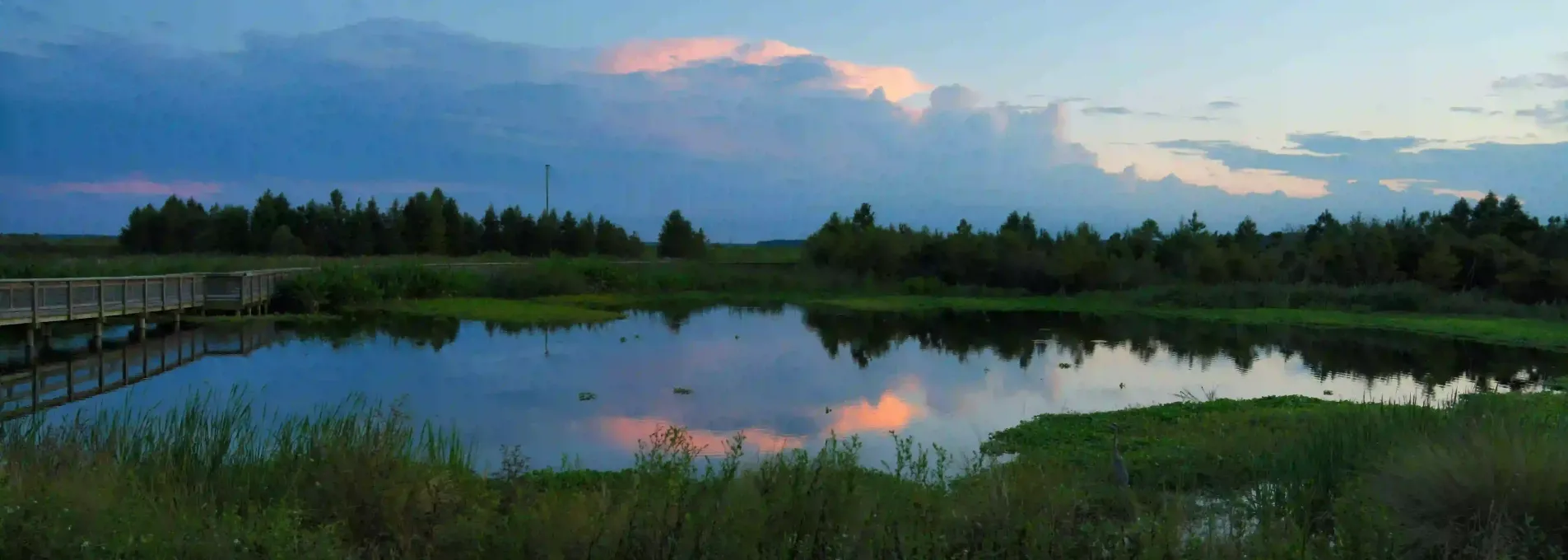
Aerial Support for North Florida's Development Zones
Whether you're building in rural Alachua or tracking stockpiles near Ocala mines, FAST provides high-efficiency drone data that helps contractors, engineers, and municipalities work smarter.

Precision Mapping for Florida's Interior
Acres surveyed in Alachua and Marion counties.
Typical delivery time for active cut/fill sites.
DEM resolution for complex topography.
Industries served across Gainesville and Ocala.

Supporting Grading and Extraction in North Central Florida
From lime mines to rural subdivisions, FAST provides drone-based earthwork analysis and elevation models across the Gainesville and Ocala region. Our experience with long corridors and multiphase pads helps clients scale confidently.

Who We Help in North Central Florida
From mine operators to campus engineers and rural land developers, FAST supports diverse survey needs with flexible aerial data solutions.


Stockpile & Earthwork Tools for the Interior
We provide high-volume mining, earthwork, and topo mapping services throughout North Central Florida.
North Central Florida FAQs
Questions we receive from mining teams, rural contractors, and developers working across Gainesville and Ocala.
Yes — we work with operators throughout North Central Florida for monthly tracking and development planning.
We support civil and residential development, farm infrastructure, and extraction-based work.
Yes — we can fly sites with minimal access, including fenced or off-grid parcels.
Mapping Support for Rural and Industrial Zones
Whether you're planning extraction, development, or roadway upgrades, FAST supports North Central Florida with fast and accurate mapping.
Serving Alachua, Marion, and rural sites across the region
Based in Florida
Our teams specialize in remote-access and industrial surveying across the state.
Fast Turnarounds
Rural sites are typically flown and processed within 48–72 hours.
Survey-Grade Accuracy
Reliable for cut/fill, drainage zones, and progress checks.