Drone-Based Road Feature Mapping
Aerial Road Linework for Pavement & Corridor Mapping
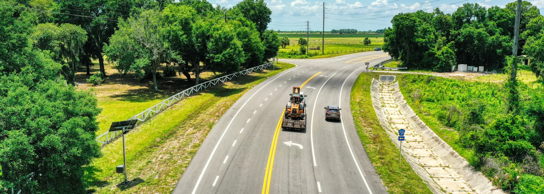
Observe and Structure Road Features Remotely
FAST extracts pavement, striping, and signage references directly from geo-aligned drone imagery—helping inform layout, access, or resurfacing plans.

Mapped from Visual Geometry
We trace road features using geo-aligned imagery—suitable for layout, resurfacing, or inventory review.

Corridor Elements Identified
Includes visible pavement edges, curbs, centerlines, and signage zones organized for roadway planning.

Compatible File Formats
We support linework output in dwg, dxf, shp, and more. Chances are, if you use it, we deliver in it.

Minimal Disruption
Flights are coordinated to avoid traffic and operate without interfering with on-site activity.
Roadway Features from Aerial Perspective
We extract visual elements from drone imagery and align them to geometric patterns that support roadway planning and review.

Workflow Overview
Flight capture over corridors using RTK/PPK positioning.
Surface feature classification from imagery.
Vector alignment for pavement, signage, and path features.
Key Mapping Metrics
≤ 0.10 US FT
Horizontal accuracies below 0.10 us survey ft from workflows verified by RTK GCPs.
1-2 Weeks
Standard production timeline.
File Formats
Linework in formats you can use.
Mapped for One-Off or Phased Corridors
Use our service for single routes or monitor roadway changes over construction phases.
On-Demand Roadway Mapping
Capture geometry and key features for layout or resurfacing.
Request a One-Time SurveyPhase-Based Linework Updates
Update road features as corridor access or use evolves.
Talk About Recurring PlansFlexible for Corridor & Site Mapping
Road Linework maps provide geometric detail to support alignments, access layouts, or infrastructure overlays.


Road Linework That Aligns With the Field
We work side-by-side with engineers, inspectors, and municipalities to deliver accurate road linework built for construction and resurfacing workflows.
FAQs About Road Linework
Explore answers to common questions about accuracy, scope, and deliverables for roadway vector mapping.
We map curbs, edge of pavement, centerlines, turn lanes, sidewalks, striping, and signage based on high-resolution orthomosaics.
Yes. Our road linework is structured by geometry type and supports integration into roadway planning systems and civil workflows.
Yes. It is often used for resurfacing, traffic adjustments, and validation of existing road conditions.