Drone Mapping in Pensacola for Infrastructure and Military Zones
Aerial survey workflows adapted to Class C airspace and critical infrastructure in the western Panhandle
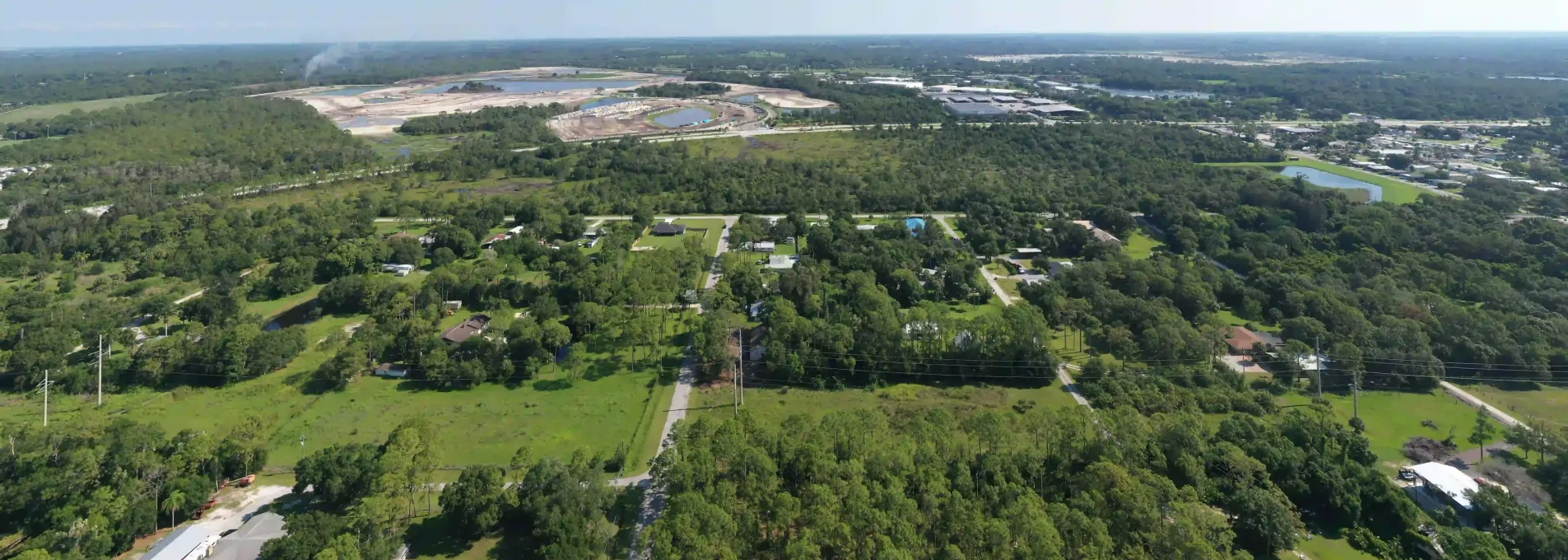
Drone Surveys Built for Pensacola's Terrain and Airspace
Civil upgrades, base perimeters, and commercial sites across Pensacola need drone surveys that work inside complex airspace. We deliver fast, clear data from Escambia to NAS.

Fast, Accurate Mapping for the Panhandle
Jobs completed from Gulf Breeze to NAS Pensacola.
Survey-grade accuracy using PPK with verified checkpoints.
Acres flown in 2023–2024 alone.
Turnaround window for most active construction sites.

FAA-Compliant Drone Surveys Near NAS Pensacola
A stormwater project near military airspace needed drone surveys without compromising airspace rules. We handled FAA coordination and captured flight-approved data within 48 hours, supporting compliance and helping the civil team submit deliverables to Escambia County ahead of deadline. Pensacola's complex zones are no problem for FAST.

Who We Help in the Pensacola Region
Military zones, storm-damaged areas, and roadway projects all benefit from FAST's fast-turnaround drone mapping in Escambia County and beyond.


FAA-Aligned Surveys for the Western Panhandle
From military base boundaries to landfill and road projects, FAST delivers drone data in challenging zones across Escambia.
Pensacola Region FAQs
Answers to common questions from contractors and engineers operating near airspace restrictions and public sites in Escambia County.
Yes — we coordinate with military and FAA authorities for compliant operations near restricted zones.
Absolutely — we support drainage, access roadwork, and site grading across Escambia and Santa Rosa counties.
We monitor forecasts and reschedule quickly to avoid delays while protecting safety and data quality.
Didn't Find What You Need? Let's Talk!
FAST supports survey needs across Escambia — including military, public, and drainage-focused projects — with compliant and efficient workflows.
Why Connect with Our Experts?
Based in Florida
We understand the permitting, weather, and scheduling realities of the Panhandle.
Fast Turnarounds
Typical project timeline is 1–3 business days, weather permitting.
Survey-Grade Accuracy
Validated for field use, reports reach ≤3cm ground precision.