Subcontracted Drone Pilots for Surveyors
Grow your business by offloading time-consuming, low margin work to FAST and make money while doing it!
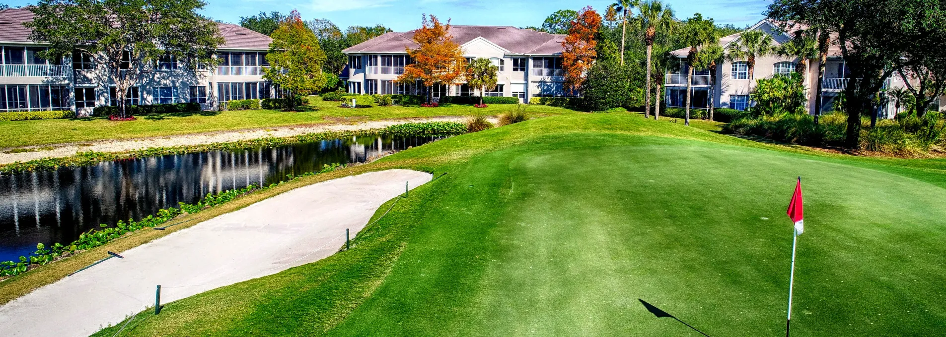
Surface Data and Linework, Delivered with Accuracy
FAST captures topography, features, and volume models using aerial photogrammetry and structured processing workflows. The resulting data is aligned to ground control and exported in formats ready for integration with design, analysis, or documentation processes.

Mapping That Fits Into Existing Workflows
FAST delivers precision linework, high-resolution elevation models, and custom vector features tailored exactly to your project specifications. Leveraging streamlined, drone-powered workflows, we guarantee rapid turnarounds and affordable pricing—empowering traditional teams to boost profitability alongside FAST while freeing your crews to focus on higher-margin jobs.

Terrain Awareness & Surface Modeling
Identify slopes, elevations, and natural surface transitions for planning or review.

Mapping of Built Features
Capture visual references of roads, pavements, and structures using drone-acquired imagery.

Site Change Monitoring
Track terrain shifts, material movement, or surface updates with periodic surveys.
Consistent, Structured Site Mapping
Typical vertical accuracy under RTK/GCP workflows.
Turnaround time for most projects from flight to delivery. Rush options available for as FAST as a 3-day turnaround.
Prepared for integration into analysis, planning tools, CAD, or BIM.
Captured without disrupting on-site operations.

Survey Packages Adapted to Site Scope
Whether the goal is surface modeling, linework extraction, or visual documentation—FAST adapts to data needs and project stages.
Topographic Reference Support
Obtain terrain context to assist with layout, grading, or documentation.
Get a QuoteFeature Mapping on Demand
Access spatial references tailored to the specific site or need.
Talk to an ExpertCore Mapping Tools for Technical Workflows
Capture, contextualize, and align site information across environments and review steps.


Subcontracted Drone Support for Surveyors
We help Florida's PSMs, engineering firms, and site planners move faster with CAD-ready deliverables adapted to each region.
Technical Users Ask
Here are some frequent questions about mapping accuracy, data types, and platform compatibility.
Most projects maintain a typical vertical deviation of ≤3 cm using aerial control.
Yes. It supports alignment, visualization, and measurement needs in spatial environments.
Yes. Our workflows can integrate third-party inputs where parameters are known.