Drone Surveying Miami & Fort Lauderdale for Urban Projects
High-precision aerial mapping for developers, civil teams, and infrastructure projects across South Florida
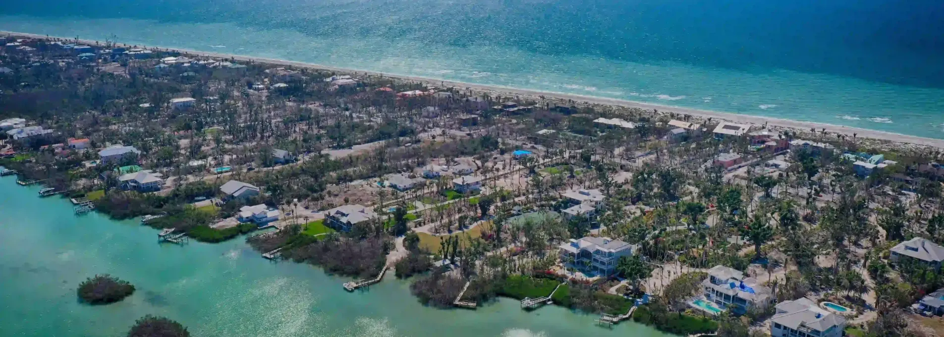
Aerial Surveying That Adapts to Urban South Florida
From dense development in Brickell and Wynwood to logistics zones in Fort Lauderdale, drone mapping in South Florida requires speed, precision, and airspace awareness. FAST delivers rapid data for planning, permitting, and ongoing construction cycles.

Why FAST Works in Dense Urban Zones
Days to complete full site scans in high-density areas.
Acres mapped across Dade and Broward in the last 12 months.
Airspace zones navigated monthly in South Florida.
Typical ground-level accuracy across concrete and mixed-use surfaces.

Recurring Drone Surveys for Urban Infill Projects in Miami
A real estate developer in Little Havana needed precise, recurring topo and linework surveys for a complex infill project surrounded by active structures. FAST provided aerial data every 10 days, allowing the engineering team to model utilities and avoid excavation conflicts. Urban projects in Miami require low-impact, high-efficiency workflows — and that’s exactly what we delivered.

Who We Help in Miami & Fort Lauderdale
From dense redevelopment zones to coastal logistics and landfill sites, FAST works with contractors, consultants, and agencies across South Florida to deliver fast, precise survey data.


Topographic Surveys for South Florida's Dense Zones
Across urban infill, coastal infrastructure, and redevelopment zones, we deliver drone data that helps Miami-area teams build smarter.
Topographic Survey
Elevation and surface models for grading, permitting, and drainage in tight areas.
Miami & Fort Lauderdale FAQs
Answers to common questions from developers, engineers, and city contractors working in South Florida’s dense and regulated zones.
Yes — we’re experienced operating in high-traffic and controlled airspace throughout Miami-Dade and Broward.
Most jobs in the Miami region are completed within 2–3 business days.
Absolutely. We routinely fly sites with limited access and coordinate with onsite teams to minimize disruption.
Let's Map Your South Florida Project
Whether it’s an urban infill site, coastal staging area, or logistics corridor, FAST brings speed and accuracy to your Miami‑Dade or Broward project.
Supporting civil, utility, and development teams from Brickell to Miramar
Based in Florida
We work exclusively across Florida with certified FAA Part 107 pilots.
Fast Turnarounds
Typical South Florida jobs are completed in 24–48h.
Survey-Grade Accuracy
Validated drone models to ≤3cm RMS error.