June 9, 2025
Florida's Drone Dilemma: Security vs. Hurricane Response
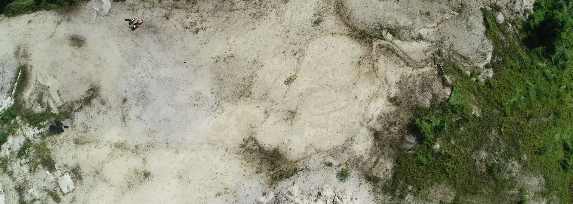
Florida's emergency management agencies face a critical crossroads. With the American Security Drone Act's full implementation approaching in December 2025, government organizations must overhaul their aerial survey programs while maintaining readiness for the state's inevitable hurricane seasons. This regulatory shift affects everything from thermal imaging for search and rescue to LiDAR mapping for flood assessment, forcing agencies to balance national security requirements with operational effectiveness. The challenge is particularly acute in Florida, where aerial survey technologies have become indispensable for disaster response. During Hurricane Milton in 2024, drone teams flew hundreds of daily missions, providing real-time damage assessments that guided rescue operations and infrastructure repairs. These capabilities, built over years of investment in Chinese-manufactured systems, now require rapid transformation to comply with federal mandates—all while ensuring no gaps in emergency preparedness. Federal security mandates reshape procurement strategies The American Security Drone Act fundamentally alters how government agencies acquire aerial survey equipment. Starting December 22, 2025, federal funds cannot purchase or operate drones from "covered foreign entities," primarily targeting Chinese manufacturers DJI and Autel . This restriction extends beyond simple procurement—agencies must also phase out existing fleets purchased with federal dollars, creating substantial operational and financial challenges. For Florida agencies, the impact varies by funding source. The Florida Department of Transportation's aerial survey program , which maintains the state's largest collection of aerial photography dating to 1951, must ensure any federally funded projects use compliant systems. Similarly, water management districts receiving federal grants for Everglades restoration must transition their aerial monitoring programs. However, agencies using purely state or local funds retain more flexibility, creating a complex patchwork of compliance requirements across different departments and missions. The Blue UAS program offers a solution path, listing 16 approved drone models from 9 American manufacturers as of 2024. These systems meet stringent cybersecurity requirements including cryptographic security, controlled data transmission, and prevention of unauthorized data storage. Yet the transition poses challenges—Blue UAS systems often cost 30-50% more than their Chinese counterparts while offering fewer integrated features that emergency responders have grown to rely upon. Thermal imaging capabilities prove critical for post-hurricane search operations Thermal imaging drones have revolutionized search and rescue operations in Florida's challenging post-hurricane environments. The technology's ability to detect body heat through debris, standing water, and dense vegetation has proven lifesaving. During recent hurricane responses, Pasco County Sheriff's Office flew thermal-equipped drones to locate survivors in flooded neighborhoods where traditional search methods proved impossible. The regulatory transition affects these capabilities significantly. Many thermal imaging systems popular with Florida agencies integrate Chinese-manufactured cores with American airframes, creating compliance uncertainties. Agencies must now verify entire supply chains, ensuring thermal sensors, flight controllers, and data processing systems all meet security requirements. This scrutiny extends to seemingly minor components—a single non-compliant circuit board can disqualify an otherwise American-made system. Forward-thinking agencies are adopting modular approaches , selecting drone platforms that accept multiple thermal payload options. This strategy provides flexibility as new compliant sensors enter the market while protecting against obsolescence. The South Florida Water Management District's recent modernization project exemplifies this approach, integrating multiple sensor types on approved platforms while maintaining strict data security protocols through encrypted transmission and localized processing. LiDAR technology transforms rapid flood assessment protocols LiDAR-equipped drones provide unprecedented capabilities for post-storm flood mapping, generating precise elevation data that guides everything from evacuation decisions to infrastructure repairs. Traditional flood assessment methods required weeks of ground surveys; modern LiDAR systems produce actionable maps within hours . This speed proves critical when floodwaters threaten secondary disasters or hamper rescue operations. Compliance requirements add complexity to LiDAR operations. High-end LiDAR sensors often cost $60,000-120,000, making fleet replacement financially daunting. Additionally, the massive datasets generated—often exceeding 10 billion data points per mission—require sophisticated processing systems that must also meet security standards. Agencies cannot simply replace drones; they must ensure entire data workflows comply with federal requirements. The University of Florida's UAS Research Program demonstrates successful adaptation strategies. Their 18-year program transitioned to compliant systems while maintaining operational capabilities for Everglades monitoring. By partnering with American manufacturers early in the development process, they influenced design specifications to meet specific environmental monitoring needs. This collaborative approach ensures replacement systems match or exceed previous capabilities while meeting all security mandates. Photogrammetry revolutionizes hurricane damage documentation Photogrammetric mapping creates detailed 3D models from overlapping aerial photographs, proving invaluable for insurance claims, FEMA reimbursements, and reconstruction planning. Florida agencies use these techniques to document everything from coastal erosion to structural damage, creating permanent records that support recovery efforts months or years after storms pass. The regulatory transition particularly impacts photogrammetry workflows because Chinese manufacturers historically dominated the integrated camera-drone market. Their systems offered turnkey solutions combining high-resolution cameras, precise GPS, and automated flight planning—capabilities that American manufacturers are still developing. Agencies must now piece together compliant solutions from multiple vendors, increasing complexity and training requirements. Success stories emerge from agencies taking systematic approaches. Miami-Dade County's park optimization project, supported by a $475,000 state grant, transitioned to compliant systems while enhancing capabilities. Their new workflow combines American-made drones with specialized photogrammetry software, achieving comparable accuracy while adding AI-powered analysis capabilities. This enhancement actually improved outcomes—automated people counting and usage pattern analysis now guide infrastructure investments across the county's park system. Strategic planning ensures continuous emergency capabilities Maintaining operational readiness during the regulatory transition requires careful planning and phased implementation. Successful agencies adopt several key strategies. First, they conduct comprehensive fleet audits, identifying which systems require replacement and prioritizing based on funding sources and mission criticality. Emergency response assets using state funds might continue operating while federally funded survey programs transition first. Second, agencies implement parallel operations during transition periods. Rather than wholesale fleet replacement, they gradually introduce compliant systems while maintaining legacy capabilities. This approach prevents capability gaps while allowing staff training and procedure updates. The Florida Highway Patrol's UAS teams exemplify this strategy, maintaining hurricane response readiness while systematically upgrading equipment. Third, regional coordination multiplies effectiveness. The Pasco County model demonstrates how multiple agencies—sheriff's office, fire rescue, and emergency management—can standardize on common platforms. This coordination reduces costs through bulk procurement while ensuring interoperability during multi-agency responses. Shared training programs and maintenance facilities further maximize taxpayer value while building resilient capabilities. Innovative solutions emerge from regulatory challenges The security requirements, while challenging, drive innovation in the American drone industry. Manufacturers previously focused on military applications now adapt technologies for civilian emergency response. Features like encrypted data links, onboard processing to minimize transmission needs, and modular architectures that accept various sensors represent significant advances. Florida agencies contribute to this innovation cycle through detailed feedback and partnership programs. The FDOT's Mobile Surveying and Mapping Section collaborates with manufacturers to ensure new systems meet specific requirements for transportation infrastructure inspection. Their input helps develop features like RTK GPS integration for survey-grade accuracy and automated flight patterns optimized for corridor mapping. Additionally, the regulatory push accelerates adoption of emerging technologies. AI-powered damage assessment, previously considered experimental, now receives serious consideration as agencies seek to maximize capabilities of more expensive compliant systems. The University of South Florida's red tide monitoring program exemplifies this trend—their AI algorithm combining satellite and drone data provides capabilities unavailable from any single manufacturer, demonstrating how agencies can build competitive advantages through innovation. Future readiness requires balanced compliance approaches Successfully navigating the new regulatory landscape while maintaining emergency response capabilities requires balanced approaches acknowledging both security requirements and operational realities. Agencies must avoid two extremes: rushing to replace entire fleets without proper planning, or delaying action until forced compliance creates capability gaps. The path forward involves strategic procurement aligned with natural replacement cycles, maximizing the value of existing investments while building compliant capabilities. Agencies should leverage available exemptions—actively tethered systems for immediate response, state-funded equipment for specific missions—while systematically transitioning core capabilities. Most importantly, they must view compliance not as a burden but as an opportunity to modernize operations with more capable, secure systems. Florida's unique position—facing regular natural disasters while hosting critical infrastructure and sensitive facilities—makes it a proving ground for balanced approaches to drone security and emergency preparedness. The lessons learned here, from thermal imaging search protocols to LiDAR flood mapping procedures, will guide national best practices as other states face similar challenges. By maintaining focus on mission requirements while embracing security mandates, Florida agencies demonstrate that compliance and capability can coexist, ensuring aerial survey technologies continue serving the public when needed most.