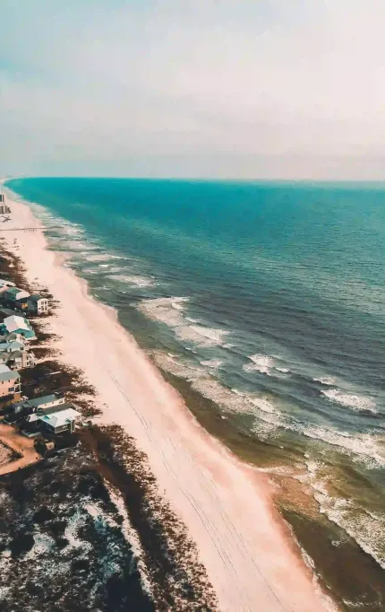
Drone Surveys in Panama City Beach for Coastal & Landfill Projects
Supporting logistics sites, debris operations, and landfill expansions across Bay County
Coastal Survey Solutions for Bay County Projects
Debris zones, landfill expansions, and beachfront development in Panama City Beach all require reliable aerial data. FAST helps teams act fast and build with confidence.

Surveying Florida's Western Gulf Coast
Average delivery time for 50–150 acre jobs.
Client rating average across Bay County.
Acres mapped since 2023 on the western coast.
Consistent ground accuracy validated with GCPs.

Mapping Coastal Landfill Expansion in the Gulf Coast
As Panama City Beach expands post-storm, drone surveys offer fast, reliable elevation and volume data for landfill operations. FAST provides repeatable scans for regrading, planning, and environmental compliance.

Who We Help Along the Western Gulf Coast
From coastal builds to landfill and highway projects, we provide reliable drone surveys for teams working in and around Panama City Beach.
Topographic Surveys for Coastal Rebuilds
We support storm recovery, landfill expansions, and logistics site planning with accurate terrain and volume data.
Panama City Beach FAQs
What developers, civil teams, and landfill contractors need to know when working along Florida's western Gulf Coast.
Yes — we've supported landfill work, storm grading, and logistics coordination across Bay County.
Yes — we've flown sites with limited access, including areas impacted by weather events.
We serve Panama City Beach, Lynn Haven, and surrounding inland sites across Bay and Gulf counties.
Drone Surveying for the Gulf Coast
We help landfills, developers, and contractors around Panama City Beach get the mapping data they need — fast.
Serving Bay County and storm-prone western zones
Based in Florida
All work is completed by in-state drone teams familiar with coastal conditions.
Fast Turnarounds
Most coastal sites are delivered within 48 hours of flight.
Survey-Grade Accuracy
Ideal for regrading, earthwork, and compliance with ≤3cm accuracy.


