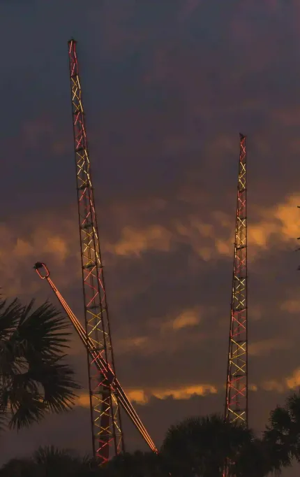
Drone Surveying Along the Space Coast for Civil & Aerospace Sites
LiDAR, topo, and volumetric services across Daytona, Titusville, and the I‑95 corridor
Mapping the Space Coast for Progress and Precision
From I‑95 expansion to aerospace corridors and flood mitigation zones, Daytona and Titusville projects benefit from drone workflows that get the job done — fast and with centimeter-level accuracy.

Surveying for Space Coast Infrastructure
Miles of road, runway, and infrastructure traced.
Accuracy level typical for Space Coast flights.
Average turnaround for KSC-compliant airspace jobs.
Client satisfaction with Space Coast projects.

Aerial Mapping for Road Expansion Along I‑95
As Space Coast growth drives new highway projects, drone surveys help teams stay ahead. FAST supports roadwork across the I‑95 corridor with fast, accurate aerial mapping — ideal for alignments, drainage, and cut/fill tracking.

Who We Help on the Space Coast
Whether you're supporting aerospace logistics, I‑95 improvements, or subdivision growth, FAST provides the data that keeps your project on track.
Topo and Road Surveys for the Space Coast
We deliver flight-cleared data for I‑95 corridors, aerospace zones, and coastal road networks.
Daytona & Space Coast FAQs
Get answers about working near KSC, I‑95 expansions, and regional development corridors across the Space Coast.
Yes — we've conducted multiple projects along the Space Coast and are experienced with restricted airspace coordination.
We regularly support roadwork and drainage modeling along I‑95 and surrounding corridors.
We can typically schedule within 1–2 days and deliver within 2–3 days after flight.
Reliable Mapping for the Space Coast
From I‑95 expansion to aerospace-adjacent drainage upgrades, FAST helps your team stay ahead with precise aerial data.
Trusted across Volusia and Brevard for fast, compliant survey work
Based in Florida
We fly under local FAA rules and handle coordination near KSC and controlled zones.
Fast Turnarounds
Projects typically fly and process within 2–3 days.
Survey-Grade Accuracy
Used in highway and drainage modeling at ≤3cm RMS error.


