Drone Surveying in Jacksonville with Airspace-Aware Workflows
Optimized for Class C airspace, military coordination, and Northeast Florida's civil infrastructure
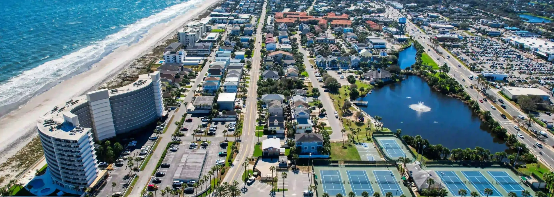
Drone Data for Northeast Florida's Complex Landscape
From military zones to coastal developments and Class C airspace, Jacksonville projects require drone workflows that adapt. Our team helps engineers, developers, and surveyors move faster with FAA-aligned mapping systems.

Designed for Jacksonville's Unique Flight Conditions
Coordinated regularly for safe drone ops.
Projects delivered on or ahead of schedule.
Mapped in the Jacksonville metro region.
Surface accuracy validated for drainage and earthwork.

Drainage Mapping in Restricted Airspace Zones
With multiple Class C zones and base restrictions, Jacksonville presents unique mapping challenges. FAST helps engineering teams navigate these complexities while capturing high-accuracy elevation and drainage data for site design.

Who We Help in Jacksonville
From airport-adjacent projects to stormwater and land development, FAST supports surveyors, civil engineers, and municipalities across Northeast Florida.


Topographic Surveys for FAA-Constrained Zones
Working near NAS JAX or Class C airspace? FAST delivers flight-approved topo and surface models for civil teams.
Jacksonville & Northeast Florida FAQs
What you need to know when working near restricted airspace, base zones, and coastlines in the Jacksonville area.
Yes — we coordinate all required approvals for airspace-controlled areas and have completed multiple jobs near NAS JAX.
Absolutely — we work across Northeast Florida including Clay, St. Johns, and Nassau.
We handle approvals in advance and schedule flights to meet FAA requirements without delaying your project.
Get Your Jacksonville Project Mapped
From complex airspace coordination to drainage planning, FAST supports engineers and builders across Northeast Florida with reliable aerial data.
Trusted by teams across Duval, Clay, and St. Johns Counties
Based in Florida
We fly under FAA Part 107 and manage all Class C coordination.
Fast Turnarounds
We typically complete Jacksonville-area work in 2–3 days.
Survey-Grade Accuracy
Surface models accurate to ≤3cm for planning and field use.