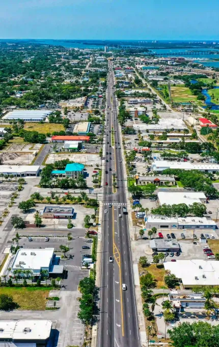
Treasure Coast Drone Surveying for Infrastructure & Waste Management
Data-driven solutions for landfills, subdivisions, and flood-prone zones along Port St. Lucie and Fort Pierce
Reliable Mapping for Florida's Treasure Coast
Landfill operations, new builds, and storm-prone lots across Port St. Lucie and Fort Pierce all depend on reliable data. Our drone surveys keep timelines on track with accurate terrain and volumetric results.

Reliable Mapping for Florida's Mid-Coast
Typical delivery for stormwater and site grading surveys.
Acres surveyed along the coast and inland counties.
Active clients using monthly or quarterly drone services.
Elevation accuracy for most terrain and landfill areas.

Drainage Modeling Support in a Flood-Prone Lot
A developer in Fort Pierce required high-res surface data for a commercial site frequently impacted by runoff. FAST performed topographic survey and generated hydrology-compatible contours for their civil team. The site now includes elevated pads and redesigned flow channels, avoiding regrading costs post-construction. Projects like this are why we're trusted along the Treasure Coast.

Who We Help on the Treasure Coast
Landfill operators, developers, and local engineers across Fort Pierce and Port St. Lucie trust FAST for volume calculations, terrain modeling, and drainage mapping.
Stockpile & Topographic for Landfills and Developers
Drone data powers drainage, regrading, and volume calculations across the Treasure Coast — including recurring landfill sites.
Treasure Coast FAQs
From landfills to stormwater lots, these are the most frequent questions we hear from clients across Fort Pierce and Port St. Lucie.
Yes — we frequently support landfill volume checks, drainage planning, and site prep coordination.
We serve all the Treasure Coast — including Port St. Lucie, Fort Pierce, and inland zones.
Absolutely — we help contractors assess and track elevation-critical areas before and after storm seasons.
Drone Surveys for the Treasure Coast
FAST helps contractors, landfill managers, and site planners across Port St. Lucie and Fort Pierce complete work faster and with greater confidence.
Serving logistics, drainage, and subdivision projects across the region
Based in Florida
All our flights are managed by FAA Part 107 certified Florida teams.
Fast Turnarounds
Most coastal jobs are scheduled and delivered within 48 hours.
Survey-Grade Accuracy
Mapped for grading, cut/fill, and terrain planning with ≤3cm precision.


