Florida Aerial Survey Locations We Serve
From Pensacola to Miami, FAST provides accurate and fast mapping services tailored to the terrain, regulations, and pace of each region.
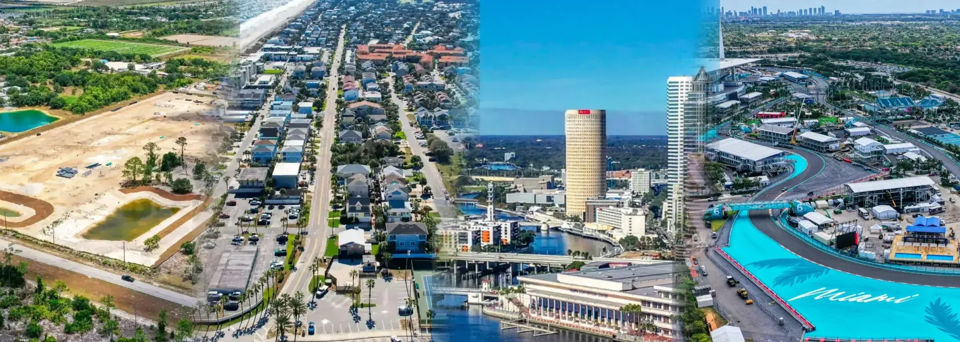
We Map All of Florida — Locally
Florida isn't one-size-fits-all. That's why we divide our field operations across 12 regions — each with their own terrain, permitting challenges, and development trends. From coastal stormwater to inland mining zones, our regional hubs help us deliver faster, more relevant drone surveys without sacrificing precision.

Select Your Florida Region to Get Started


Need Drone Mapping Support in Florida?
Whether you're building near the coast, inland, or inside restricted airspace, FAST delivers regionally tailored drone survey solutions that meet your timeline and precision goals.
Serving contractors, engineers, and developers statewide
Florida-Only Focus
We operate exclusively in Florida — with local pilots who understand the permitting, terrain, and airspace challenges of each region.
Fast Turnarounds
We deliver most regional drone surveys within 24–72 hours, even in complex zones.
Survey-Grade Accuracy
All data is validated using RTK/PPK workflows and exceeds Florida engineering standards.
Explore the Full Library of Resources
See how FAST applies to more industries, more layouts, and more operational use cases. Our resource hub includes breakdowns by sector, FAQ answers, and visual benchmarks.