Drone Mapping for Golf Course Projects
Golf course aerial mapping data to support grading precision and design alignment across course phases.
Terrain Insight for Precision Course Planning
FAST works with golf course architects, developers, and contractors to capture elevation data, drainage paths, and feature locations. From concept to completion, our drone mapping supports creative design and efficient grading.

Fairway Design Starts with Surface Accuracy
Create contour lines and digital terrain models to support bunker placement, green slopes, and fairway flow.

Fairway and Terrain Awareness
Analyze slope behavior and natural features for shaping and flow planning.

Reference of On-Site Elements
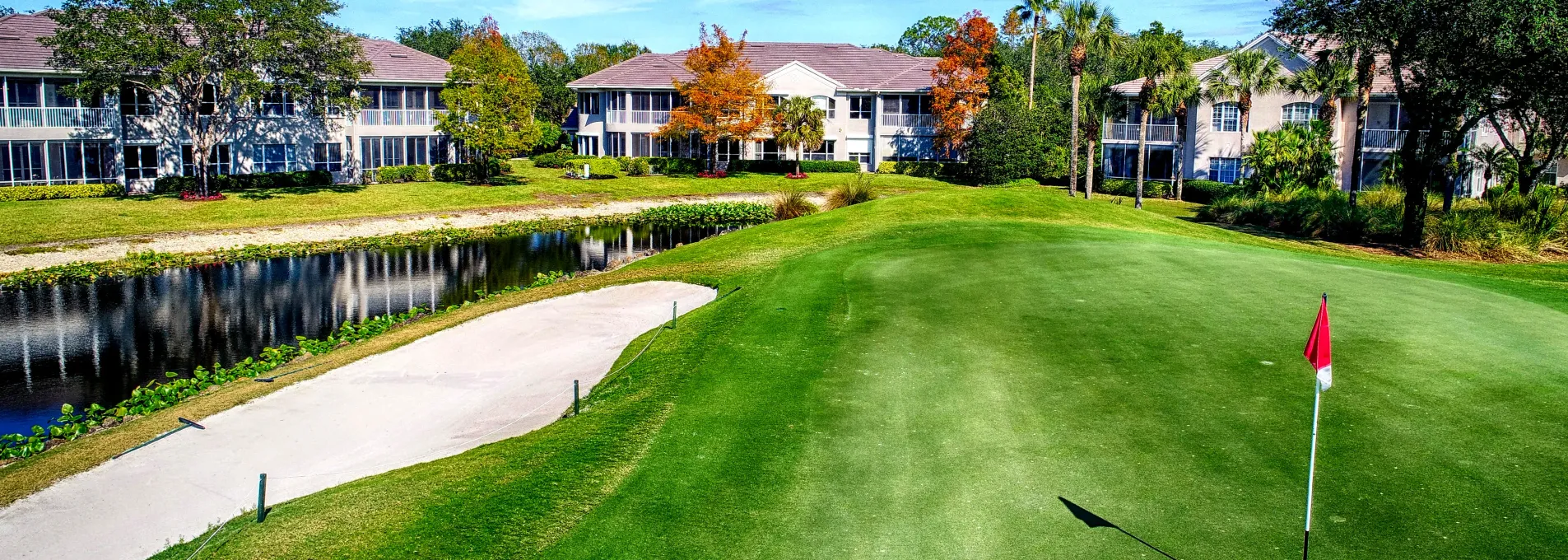
Visualize lakes, bunkers, paths, and existing infrastructure from above.

Construction and Design Feedback
We offer contour lines, cut/fill requirements for dirt movements, design and as-built surfaces, and more for landscape design, build, and maintenance professionals.
Built for Golf Architecture & Execution
Our vertical tolerances for terrain mapping and deliverables.
Average turnaround time on 18 hole golf courses.
We provide both digital modeling and visual mapping to help with planning, logistics, dirt calcs, design, and more.
FAST provides on-demand services with bulk pricing available for recurring needs.

Design Support for New and Existing Courses
We tailor every deliverable to your phase—whether you’re shaping layouts or refining site elements.
Visual Review for Renovations
Capture reference points to support phased improvements.
Talk to an ExpertCore Mapping Tools for Course Design and Shaping
Integrate elevation, slope, and surface visual cues into new or phased projects.


Drone Surveys for Golf Course Planning
FAST delivers site-ready data to support golf course drainage, layout, and renovations across Florida's top design zones.
Golf Designers Ask Us
Get clarity on how aerial mapping helps reduce grading waste and support your design goals.
Yes. Surface references support early design thinking and route planning.
Yes. Visual references aid in placement of greens, bunkers, and access elements.
Yes. Early planning, mid-phase shaping, and as-built review are all compatible stages.