Understanding the Language of Aerial Surveying and Geospatial Data
Learn Key Terms and Concepts in Drone-Based Mapping, Surveying, and Geospatial Data Analytics
Aerial Surveying & Mapping Terms
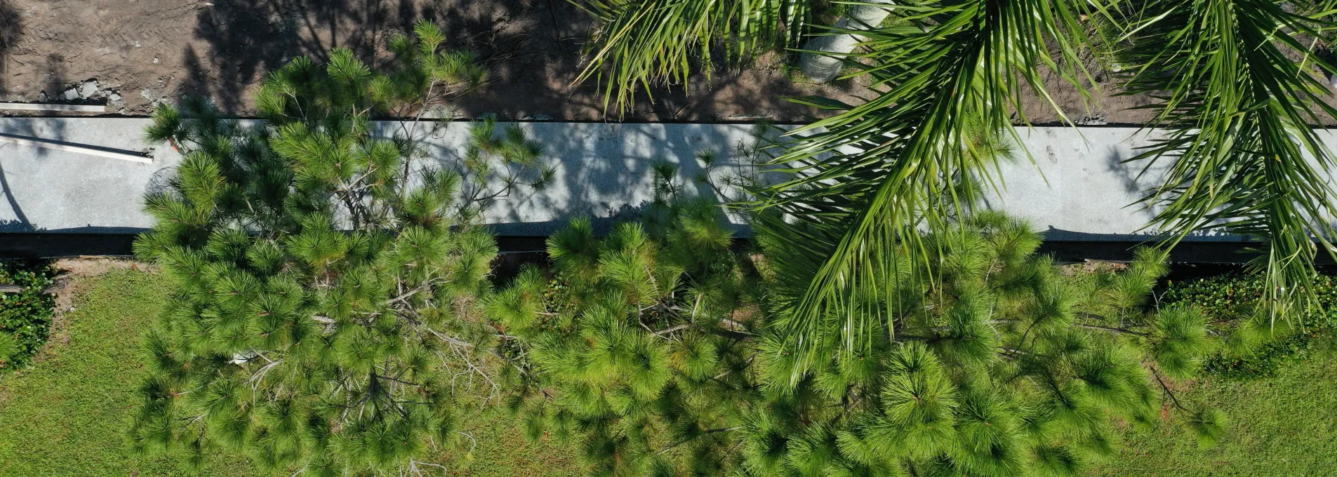
Aerial Data
Information collected from an elevated perspective using drones, satellites, or aircraft. This data supports mapping, surveying, and geographic analysis.
Drone Surveying
The use of unmanned aerial vehicles (UAVs) to capture high-resolution imagery and geospatial data for land mapping, infrastructure monitoring, and environmental assessment.
Geographic Information System (GIS)
A system for capturing, storing, analyzing, and visualizing geographic data to interpret spatial relationships and trends.
Contour Mapping
A method that represents terrain elevation on a map using contour lines that connect points of equal height, commonly used in construction, mining, and land development.
Digital Elevation Model (DEM)
A 3D representation of the Earth’s surface derived from elevation data collected through remote sensing technologies like LiDAR and photogrammetry.
Orthomosaic
A high-resolution, georeferenced aerial image created by stitching multiple images together, used in land surveying, construction, and infrastructure monitoring.
Topographic Survey
3D Mapping
The creation of three-dimensional representations of terrain, buildings, and infrastructure using aerial imagery and geospatial data.
Bathymetric Survey
A survey method that maps underwater topography using sonar, LiDAR, or other remote sensing technologies.
Geospatial Technologies
LiDAR (Light Detection and Ranging)
A remote sensing technology that uses laser pulses to measure distances and generate high-resolution 3D models of the Earth's surface.
Remote Sensing
The process of gathering data about an area from a distance, typically using drones, satellites, or aircraft, to analyze land use, vegetation, and environmental changes.
Geospatial Data
Data that includes geographic coordinates and spatial attributes, supporting mapping, analysis, and decision-making in construction, mining, and urban planning.
Real-Time Kinematic (RTK)
A GPS correction technology that enhances positioning accuracy, commonly used in drone surveying and precision agriculture.
Global Navigation Satellite System (GNSS)
A satellite-based navigation system that provides geolocation and time data worldwide.
Ground Control Points (GCPs)
Fixed reference points on the ground used to improve the accuracy of aerial survey data.
Point Cloud
Point Cloud
A collection of data points in three-dimensional space, often generated by LiDAR scanning to create digital models of terrain or structures.
Digital Surface Model (DSM)
A model that represents the Earth’s surface, including buildings, vegetation, and other structures, derived from LiDAR or photogrammetry data.
Industry Applications
Stockpile Measurement
Aerial surveys used to calculate the volume of stored materials like aggregates, minerals, and construction supplies, improving inventory management.
Volumetric Analysis
A method used to determine the volume of materials, land formations, or excavation areas using aerial data and 3D models.
Construction Monitoring
The application of aerial data to track construction progress, detect issues, and enhance project management efficiency.
Land Development
The process of modifying land for residential, commercial, or industrial use, incorporating geospatial data for zoning, planning, and infrastructure design.
Environmental Monitoring
Aerial data collection used to assess land cover changes, vegetation health, pollution levels, and wildlife habitats.
Precision Agriculture
The use of aerial data to optimize farming practices, monitor crop health, and improve resource management for sustainable agriculture.
Infrastructure Inspection
Aerial surveys conducted to inspect bridges, power lines, pipelines, and other infrastructure, ensuring structural integrity and compliance with maintenance regulations.
Disaster Response Mapping
The use of aerial imagery and remote sensing to assess damage and support emergency response efforts after natural disasters.
Forestry Management
Aerial mapping and remote sensing technologies used to monitor forest health, measure biomass, and assess deforestation.
Drone & UAV Terminology
Unmanned Aerial System (UAS)
An umbrella term that includes drones (UAVs) and associated control systems, software, and sensors.
Unmanned Aerial Vehicle (UAV)
A remotely controlled or autonomous aircraft used for aerial data collection, mapping, and monitoring.
Beyond Visual Line of Sight (BVLOS)
A drone operation where the UAV flies beyond the pilot's direct line of sight, requiring special regulatory approval.
Visual Line of Sight (VLOS)
A flight operation where the drone remains within the operator's direct line of sight.
First-Person View (FPV)
A real-time video feed from a drone's camera, allowing operators to control the UAV as if they were onboard.
Payload
The cameras, sensors, or equipment carried by a drone for data collection and analysis.
Autopilot System
A software system that enables drones to follow a pre-programmed flight path without manual control.
Fixed-Wing Drone
A type of UAV that resembles an airplane and is designed for long-range aerial surveying with greater endurance compared to multi-rotor drones.
Flight Planning Software
Programs used to create automated drone flight paths for surveying, mapping, and data collection.
Unlock the Power of Aerial Data
Precision. Efficiency. Innovation. FAST transforms industries with cutting-edge drone & LiDAR tech, optimizing workflows and delivering actionable insights.
Why Work with FAST?
Proven Success
Backed by real-world case studies and industry applications.
Tailored Solutions
Customized aerial data strategies for your unique needs.
Future-Ready Insights
Stay ahead with expert analysis and emerging trends.