How drones accelerate permitting for land development
Faster surveys and smarter data help developers move from concept to construction with fewer delays.
Date Published
May 9, 2025 | 2-min read
Drone mapping is helping developers streamline due diligence, environmental studies, and planning approvals. With faster, more accurate site data, land development projects can move through permitting faster—reducing holding costs and giving teams a competitive edge.

Introduction
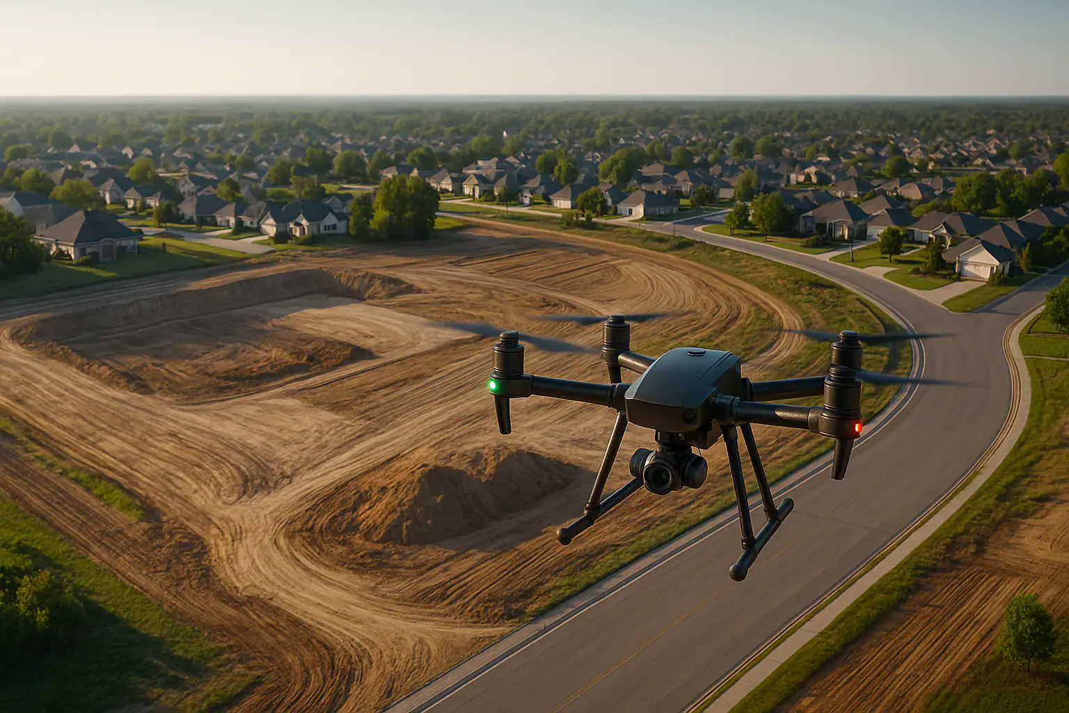
Permitting is one of the most time-consuming phases in land development. Before a shovel hits the ground, developers must submit detailed site plans, topography, floodplain data, and environmental documentation. Traditional surveys can take weeks—delaying design and increasing costs. Drone-based mapping is changing that. With aerial data captured in hours and processed in days, teams gain a real-time view of the land and a head start on permitting deliverables.
Delays in permitting often stem from missing or outdated data. Engineers may lack current elevation models, while planners need clear visuals to evaluate drainage or tree coverage. In many municipalities, permitting timelines are strict—but data quality determines how smoothly a plan is approved. Re-submissions or corrections can cost weeks. That’s where drone surveys shine: they provide high-resolution maps and models that feed directly into planning applications, engineering designs, and environmental reports.
Drone workflows for land use and entitlement
Modern drone platforms can generate orthomosaics, digital elevation models (DEM), and even tree counts using AI. These outputs are directly usable in planning workflows—from site feasibility and conceptual layout to preliminary engineering and environmental analysis. Data can be imported into AutoCAD, Civil 3D, or ArcGIS, enabling tight coordination across civil teams, architects, and planners.
- Orthomosaics for concept overlays and zoning submissions
- Contours and DEMs for grading and drainage review
- Vegetation and impervious surface mapping for environmental impact studies

Benefits
With drone data, developers are reducing permit prep time by up to 40%. One Florida firm reported shaving three weeks off a subdivision application by submitting drone-based topography early. Agencies appreciate the clarity of aerial maps, and consultants get to design with better context. In addition, digital records from drones support future audits, adjustments, or plan revisions.
- Time to permit submission reduced from 4 weeks to 1.5 weeks
- Revisions cut by ~30 % due to more complete initial applications
- Integration with design platforms saves 10–15 hours per project
Drone mapping is becoming a core tool for land developers looking to move faster and smarter. From site selection to permitting to final design, aerial surveys provide the clarity and accuracy needed to reduce risk and accelerate timelines. For any project on a deadline—or a budget—this is a strategic edge that’s hard to ignore.
Related LiDAR Scanning Posts

May 9, 2025
Digital twins and drones: transforming enterprise workflows
Digital twins created from drone imagery are helping firms centralize data and streamline workflows. By syncing with GIS...

May 9, 2025
New FAA drone rules to unlock BVLOS operations in 2025
New FAA BVLOS rules will eliminate many waivers and allow long-range drone missions by default. This change opens the do...
May 9, 2025
AI-powered drone surveys transform construction ROI
AI-powered drones are reshaping site surveys by detecting issues in real-time, cutting manual labor, and delivering impr...