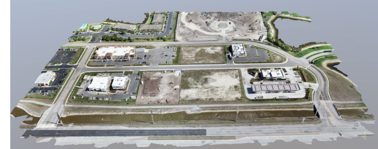
High quality topographic survey maps can be made from data collected by drones. These maps show surface features, both man-made and natural, and allow clients to accurately model, build, and verify their plans.
Topographic maps are vital for complex projects. This is especially true in areas prone to flooding. Topographic maps can help teams understand the interplay of elevations and terrain.
Teams that use topographic maps for drainage studies are able to simulate near realistic water flow. This is due to the high level of data density provided by aerial topographic surveys.
By using the latest drone technologies, our topographic surveys feature highly accurate and very dense data sets that fully map areas.Alternatives such as traditional survey and mapping only model the areas that stand out to build a map that represents an area.
A definitive guide to topography Got questions about topography? We have answers. Topography is the representation of earth's surface and artificial made modifications on a map. It is used to…
What is Inventory Turnover Ratio? A measurement of efficiency that provides solid data on how well a company is managing and moving inventory. Inventory turnover ratio is one of the…
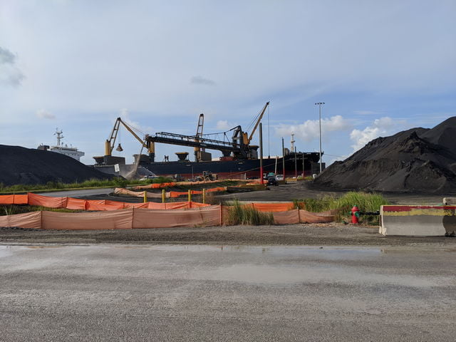
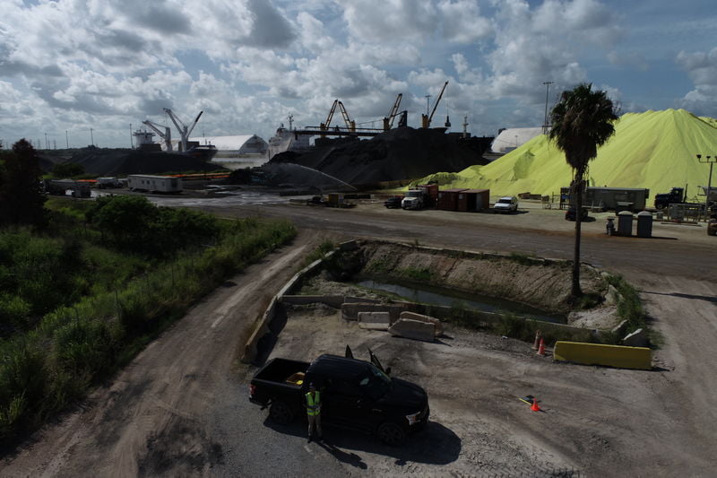
Improving Aggregate Volume Calculations Using Drone Surveying How our cutting edge technology has changed the aggregate volume measurement game. As any one of our clients can tell you, having accurate…
Drone Mapping vs Traditional Mapping. How our cutting edge technology has changed the site design game. The advancements in drone technology and mapping software are revolutionizing the survey industry. The…