3 Ways Stockpile Measurements Help Mining And Quarry Companies
Mining and quarry companies can benefit immensely by using technology, specifically drone technology, to perform …

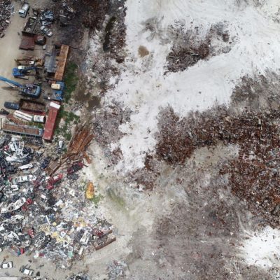
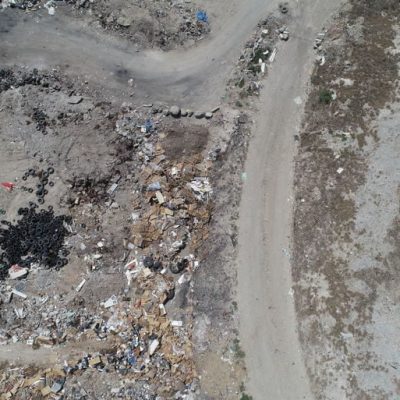
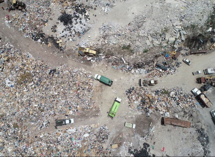
With cutting edge aerial surveying technology, we can remove structures and equipment on the landfill for the most accurate results. We are able to cut piles in many different ways, allowing you the most flexibility when trying to analyze your landfill for capacity calculations or redesign.

Millions and even billions of precision measured points allow our company to model your landfill and calculate volumes to suit your requirements. Better yet, our technologies are primarily remote, with only a handful of control and check points needing to be placed to ensure our tolerances are met. This means less disruption to your dump.

Our models are beautiful, even when they are garbage. We have years of experience calculating the volumes of dumps, landfills, and stockpiles. This experience not only allows for a pretty garbage model, but it also gives us an accurate garbage model.
Drones significantly speed up the process of measuring landfill capacity. Most jobs can be completed with only a day of field work, reducing the amount of time on site allows your landfill to work without disruption. Not only do drones speed the process up, but the data gathered is much more accurate than traditional methods. There are unique challenges to working at landfills. Heavy equipment, fires, and hazardous materials are all par for a very smelly course. Drone’s improve safety and accessibility of these areas, allowing us to accurately model and survey dangerous areas remotely. This limits dump’s liability and ensures complete and accurate data sets.
In the past, we have modeled, measured, and surveyed landfills that were on fire, were inaccessible, and had hazardous materials. Our crews are trained, prepared, and experienced in dealing with these complex scenarios. We have surveyed landfills from Florida to Sint Maarten in the Caribbean.
Your data will be awesome. Guaranteed.
Our team produces quality data, not the garbage unlicensed drone companies produce. We use state of the art technologies, in-house programming, and text book photogrammetry and LiDAR techniques to gather quality data for your landfill calculations.
We strive for rapid delivery of data, enabling quick and accurate decisions to be made by your team. Our pilots are spread across the state, able to get to most areas in Florida within 3 hours of driving and to the Caribbean in as little as a day.
Our extensive knowledge of drone technology and aerial surveying ensures that your landfill capacity calculations come out accurate and complete. We have decades of experience flying and surveying. We process our data in-house to ensure the integrity of our result.
We pride our company on our by-the-book methods, technologies, and responsiveness to customers. Want to know more about us? Read our about us page and our blog.

View some samples below
This model shows the landfill in Philipsburg, Sint Maarten. From this model, we clean the noise from the water and remove the structures before performing a topographic and volumetric analysis.
This model shows a mulch dump after it had caught fire. We were able to verify the volume within 2% without endangering anyone by going on the pile.
Read our blog posts to understand what we do and why!
Mining and quarry companies can benefit immensely by using technology, specifically drone technology, to perform …
It wasn’t long ago that measuring asphalt and raw aggregate stockpiles required a small team …
Before we describe how topographic maps are used, let’s define what a topographic map is. …
Topographic Mapping with Drones In the past, creating topographic maps could be a laborious task …
