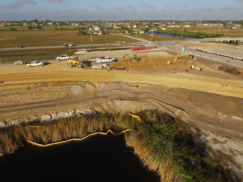
Read more about the article Topography: Everything you need to know about topography.
Mountains are considered topography

Topography: Everything you need to know about topography.

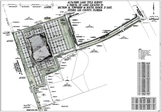
A definitive guide to topography Got questions about topography? We have answers. Topography is the representation of earth's surface and artificial made modifications on a map. It is used to…

Continue ReadingTopography: Everything you need to know about topography.
Read more about the article What is Inventory Turnover Ratio?
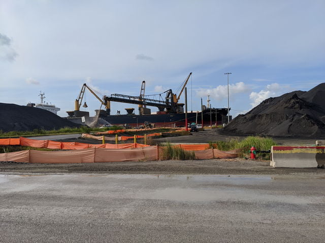
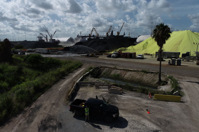
Florida Aerial Survey Technologies provides inventory turnover ratio surveys for companies looking to measure the turnover of their inventory.

What is Inventory Turnover Ratio?

What is Inventory Turnover Ratio? A measurement of efficiency that provides solid data on how well a company is managing and moving inventory. Inventory turnover ratio is one of the…

Continue ReadingWhat is Inventory Turnover Ratio?
Read more about the article 3 Differences between Drone Mapping & Traditional Surveying
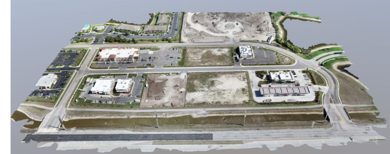
This photo shows a highly accurate 3d model of a commercial development. This model was made using drone mapping methods.

3 Differences between Drone Mapping & Traditional Surveying

Drone Mapping vs Traditional Mapping. How our cutting edge technology has changed the site design game. The advancements in drone technology and mapping software are revolutionizing the survey industry. The…

Continue Reading3 Differences between Drone Mapping & Traditional Surveying
Read more about the article 3 Brilliant Differences Between Drone Surveying & Traditional Surveying
This infographic lays out the different ways Florida Aerial Survey Technologies products stack up to our competition.

3 Brilliant Differences Between Drone Surveying & Traditional Surveying

Drone Surveying for Construction and Engineering Transforming data in construction - Now. At Florida Aerial Survey Technologies (F.A.S.T.) we use cutting edge, proven survey and modeling techniques as well as custom…

Continue Reading3 Brilliant Differences Between Drone Surveying & Traditional Surveying